The course at a glance
- Designer
- Robert von Hagge
- Opened
- 1998
- Green fee
- Rate not published, checked 9 Oct 2026
- Facilities
- Putting green, driving range, equipment hire
- Access
- Km 22, Bouznika beach secondary road, between Rabat and Casablanca
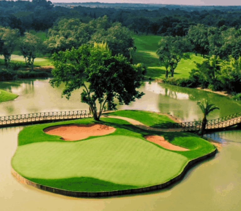
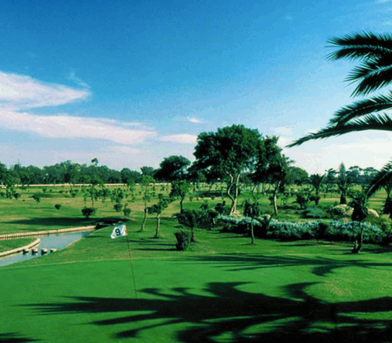
Inaugurated in 1998, the nine-hole par 35 course stretches over 3,041 metres. It is the work of the architect Robert von Hagge. The nine holes wrap around the Oued Bouznika, with hilly, fairly technical greens; hole 3, ringed by clover-shaped bunkers, bears its creator's signature.
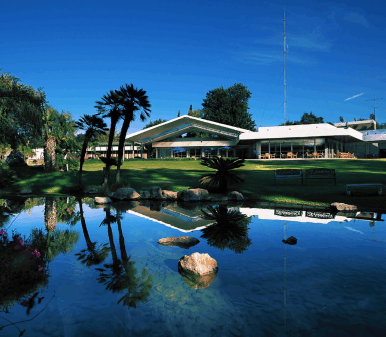
A particular feature: the course can also be played in the evening, to the sound of the Atlantic waves. On site there is a putting green, a driving range and equipment hire; when the tourist office last checked, the main clubhouse was closed, with the Beach Club and the resort's restaurants taking over.
Sources: frmg.ma, visitrabat.com (checked 28 Sept 2026).
Playing Golf de Bouznika Bay: practical information
Access
The course is at km 22 on the secondary road to Bouznika beach, between Rabat and Casablanca: about 43.5 km by road from central Rabat and 54 km from Place Mohammed V in Casablanca. Rabat-Salé Airport (RBA) is about 55 km by road.
Best season
April-May and September-October combine mild weather with moderate rainfall; from November to January, 81 to 94 mm of rain falls each month in Rabat.
Where to stay
No hotel is attached to the course; we can arrange a stay in Rabat or Casablanca.
Frequently asked questions
Which airport should I use for Golf de Bouznika Bay?
Rabat-Salé (RBA), about 55 km by road, or Casablanca Mohammed V (CMN), as Bouznika lies between the two cities.
What is the best time to play Golf de Bouznika Bay?
Spring and early autumn; from May to September, less than 18 mm of rain falls each month.
What is the Golf de Bouznika Bay course like?
A 9-hole, par-35 course of 3,041 metres, played twice for 18 holes; it can also be played in the evening.
Sources: FRMG, Bouznika Bay Golf, Visit Rabat, Bouznika Bay Golf Course, WMO normals 1991-2020, Rabat-Salé (NOAA/NCEI), OSRM (OpenStreetMap), calculated road distances (checked 09/10/2026).